
Remote Sensing
We use a range of satellite and Earth-bound remote sensing platforms to investigate cover crop adoption and performance and to inform our decision support tools. On a broader scale, our analyses can reveal the impacts of federal and state cost-share programs that incentivize sustainable agriculture and provide information to support adaptive management.

Image 1
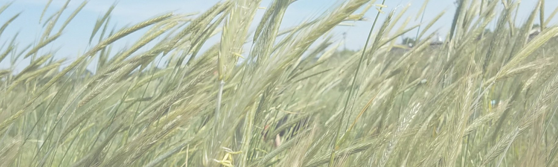
We use a variety of multispectral and hyperspectral imagery from satellites, as illustrated in Image 1. NASA's Landsat and the European Space Agency's Sentinel-2 multispectral sensors provide global coverage that supports phenological investigation of cover crop emergence, growth patterns, and termination. These data support cover crop monitoring and reporting by state and federal incentive programs.

Image 2
For example, we generated the phenological growth curves in Image 2 from multispectral imagery (black points) interpolated to daily values (green line). Similar plots are generated annually for each of the more than 25,000 fields enrolled in the Maryland Agricultural Water Quality Cost-Share (MACS) Program. Seasonal maximum values of the normalized difference vegetation index (NDVI) are used to calculate environmental performance measures, including fractional green cover, accumulated biomass, and nitrogen content, informing the adaptive management of conservation incentives. Analysis in Maryland identified early-planted drilled cover crops as top performers and late-planted broadcast cover crops as comparatively poor ones (Thieme, et al., 2023).
Most cover crop cost-sharing programs require that the timing of cover crop planting and termination be verified through in-person field checks. By using algorithms applied to the satellite phenology curves, we can identify green-up (emergence of green vegetation) and termination dates associated with cover crop management to inform verification for project collaborators.
In Image 3, the first satellite image from late April shows a field prior to termination (varying shades of green indicate vegetation within the field). The middle image shows a termination event beginning to become noticeable (increase in purple color), and the final image shows when the field is fully terminated (all purple). Termination reports, produced for all enrolled cover crop fields, can help reduce the burden on field agents to verify termination and target fields of interest for field checks to determine management compliance.

Image 3

Image 4. (Jennewein et al., 2024)
Super- and hyperspectral sensors, such as WorldView-3, EMIT, and PRISMA, enable more advanced assessment of spectral absorption features that can be linked with plant quality and quantity. Of particular interest are traits that PSA’s Cover Crop Nitrogen Calculator (CC-NCalc) requires, including biomass, nitrogen, lignin, holocellulose, and nonstructural carbohydrate concentrations. Using satellite imagery to populate this information expands the calculator’s use to provide fine-scale prescriptions for mineral fertilizer applications in a precision framework for farmers and other agriculture professionals. Image 4 shows how hyperspectral satellite images can measure cover crop traits to inform nitrogen estimations for use in CC-NCalc in future iterations of the tool.
The Remote Sensing Team
-

W. Dean Hively
Research Physical Scientist, U.S. Geological Survey
-

Jyoti Jennewein
Research Physical Scientist, Precision Sustainable Agriculture
-

Brian Lamb
Research Physical Scientist, U.S. Geological Survey
-

Alison Thieme
Research Physical Scientist, Precision Sustainable Agriculture
-

Jordan Nicolette
Research Technician, Precision Sustainable Agriculture
-

Sumanta Chatterjee
Postdoc Research Assistant, University of Maryland
-

Chris Hidalgo
Research Associate, Precision Sustainable Agriculture
-

Morgan Wertz
Research Associate, Oak Ridge Institute for Science and Education