
Our Services


Plant and Soil Sensing Technologies
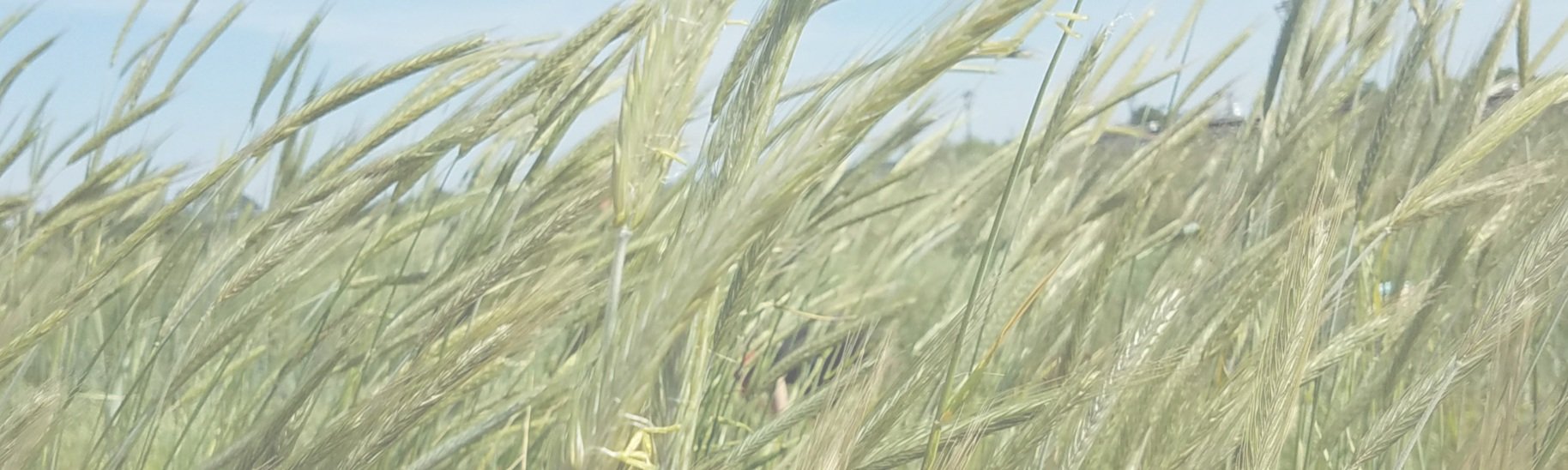
Building a better view of crop fields
Plant mapping and soil sensing technologies allow growers to gather more information about their fields than ever. These technologies combine image and data collection with artificial intelligence to generate high-resolution field maps showing crop, weed, and cover crop density and biomass, as well as soil conditions. These maps can offer insight into topics such as weed resistance, water stress, and drought tolerance and inform resource management decisions.
Decision Support Tools
Tailor cover crop recommendations to your goals and constraints
Our free, open-source Decision Support Tools (DSTs) provide cover crop information and guidance to farmers, agricultural consultants, extension agents, and others across the United States. From species selection and seeding rates to nitrogen availability and economic considerations, the tailored information in our DSTs is based on Precision Sustainable Agriculture research data that the regional Cover Crop Councils share with growers.

Data Services
Customized data engineering solutions for agricultural industry and research
Our Data Services team offers custom data management. We provide data engineering solutions by standardizing protocols, collection, and delivery to research teams, agricultural professionals, and growers.